Cycling Col de la Colombiere and Aravis

FrancesLCE5

24 January 2025

No Comments

Cycling the Col de la Colombiere and the Col des Aravis (TdF Classics)


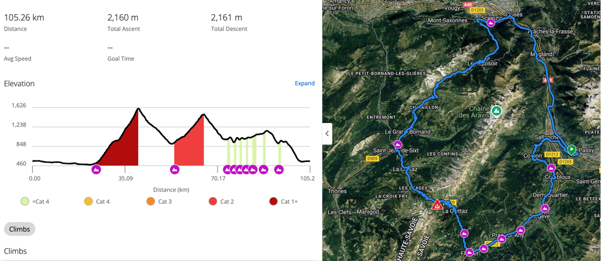
Several significant climbs in and around Chamonix and the Haute Savoie region have been made famous by the Tour de France. Still, few in this area are as well known as the Col de la Colombière, a category-one climb.  Closely behind the Col de la Colombiere, we feel, is the Col des Aravis, a category-two climb. Therefore, put the Col de Colombiere and Col des Aravis together (as they sometimes do on the Tour de France) as one ride in a loop, and you will have a great day on the bike. It is a must-ride route for any good sports cyclist visiting this region, over 2,000km of ascent and 100km plus in distance, notwithstanding some stunning scenery.


Our Favourite Col de la Colombiere and Col des Aravis Cycling Loop


So here is the route we recommend, designed for sports cyclists (good, capable, recreational cyclists who can spend long periods riding, including ascending long and, at times, steep gradients). 


Starting Cycling From Chamonix


We generally start at Lac Passy to make this a sociable loop and allow time for a leisurely lunch with wine (we always have at least one in our party who insists on such a stop). Still, you can start from Chamonix for additional kilometres and height gain. If you are beginning in Chamonix, this creates an additional circa 55km and a further 1,000m of ascent (circa 970m, to be precise) to this route. In such a scenario, from Chamonix, head towards Les Houches, then Servoz via Vaudagne and on and through Passy via the D13. After the D39 merges with the D13 (roundabout), in 1km, just after the Fiat Garage, take the first right before the bridge (bridge that crosses the A40 motorway) towards Luzier and then left over the old, beautiful pedestrian bridge in 500m. You will join the cycle pathway 3km from the start of the route below.
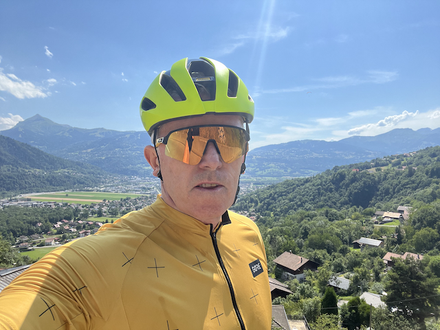
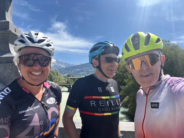
Alps Cycling Chamonix
Cycling Chamonix

Starting Cycling From Lac Passy Car Park


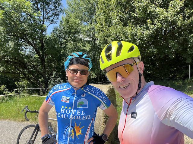
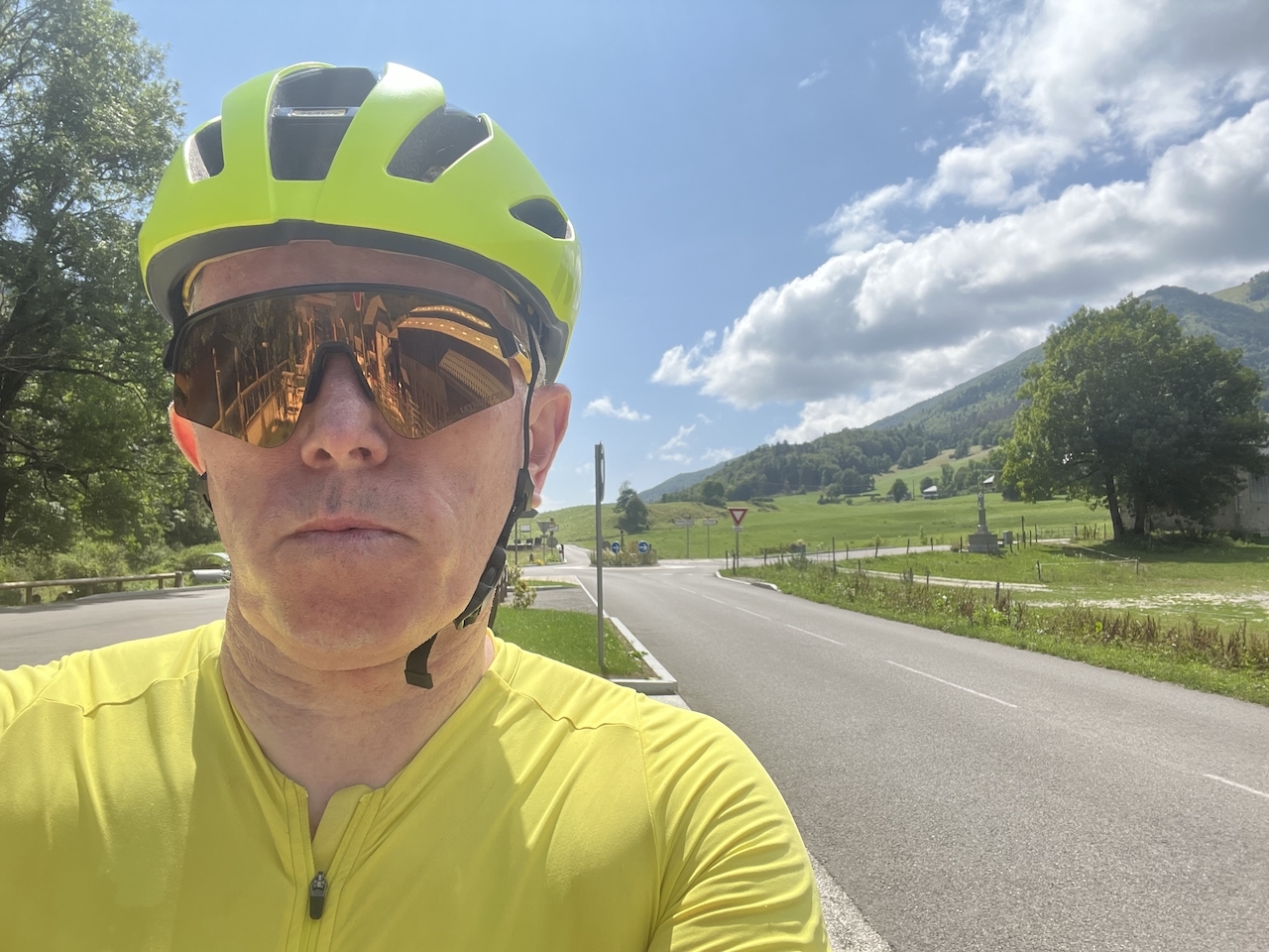
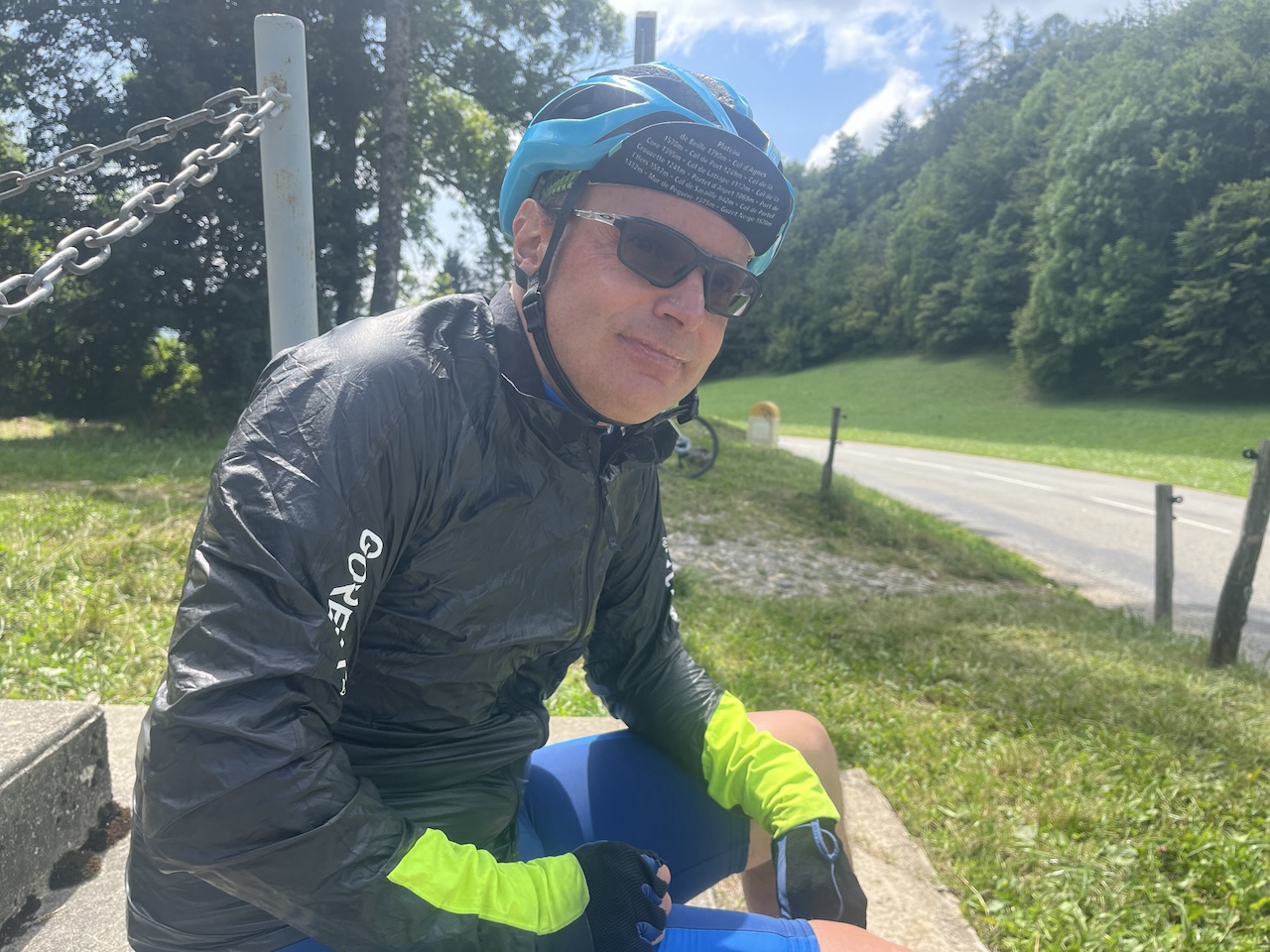
Not only does starting from Lac Passy ensure there is time for lunch, but the lake is also excellent for a dip at the end of the ride (and to meet friends or family afterwards, too) in the warmer months. From the car park, we head towards Cluses via the cycle track just 3km away via quiet back roads. From the car park, cross the railway line (crossing just before the second and main Lac Passy car park – we always park in the first one you will see), and then after the railway line, take a left at the roundabout shortly afterwards. For 2km, you are parallel with the A40 motorway before cutting right underneath this road to join the cycle route. For 17km, it is primarily a separate cycle track (tarmac) with just some minor roads early on before you eventually arrive in Cluses. In Cluses, turn left towards Scionzier and the route de la Colombière. The Col de la Colombière is well signposted from Cluses. The climb can be a little busy in the summer, particularly with cyclists and camper vans, but it is never too congested. Living locally, we prefer slightly later in the year, but this comes with some risks weather-wise (see photos below). The Col de la Colombiere is often closed because of snow sometime in November and not reopening in most cases until late May; October, therefore, can see some snow on top (as can late May and early June some years), as we are illustrating!

Cycling the Col de la Colombiere


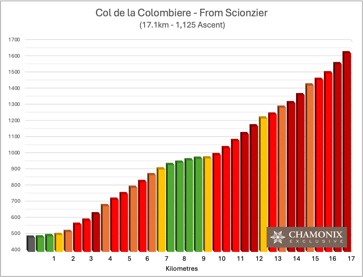
This is the main climb from Scionzier, just over 17-kilometre, with 1,100m of ascent. Other Col de la Colombiere routes are covered on our Col de la Colombiere page. This route is frequently part of the Tour de France, and being a long category-one climb, it is not for the faint-hearted. A reasonable level of cycling fitness is advised and, from our experience, needed.  While it doesn’t start too badly, this changes after a km and a half, and the gradient increases for about 5km (6%-10%). Just before the tiny hamlet of Le Rposoir, the road then plateaus, and you get a 3-kilometre rest bite. We suggest you make the most of it and fill the water bottles when passing through Le Reposoir if needed, as things are about to ramp up. 


As you head out of the small hamlet, the real climbing begins. From here on in, you have 7-8 kilometres of climbing, mainly around the 10% mark. When you first see the top, it plays tricks with the senses, appearing a lot closer than it is. Some are tempted to jump off the saddle and go for it. Our advice is to sit back; it is a 10-12% incline from here, and although it might look at most a km away, it is closer to 2.5 kilometres as it winds around the mountain’s topography, hiding elements of the climb. Additionally, the last kilometre of the 2.5km section is between 11% and 12% finish. It is a gruelling finish for all but the most athletic cyclists – but the achievement and the customary Col de la Colombiere photos will make it worth it! 

Col de la Colombiere Climb

Then, Onto Cycling the Col des Aravis


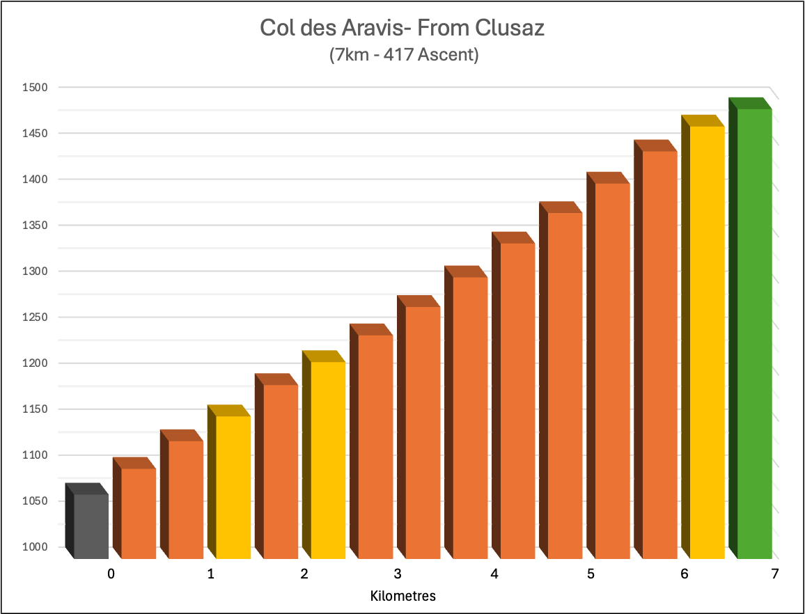
Once you have completed the obligatory photos at the top, you will have a great descent into Le Grand Bornard and then on to Jean-de-Sixt. It is a fast descent, but we recommend slowing down a little to take in the breathtaking scenery as you sweep down. As you enter Jean-de-Sixt, you’ll see two or three nice cafes close to the roundabout in the centre for a break before turning left at the roundabout, heading up towards La Clusaz and the Col des Aravis. La Clusaz is a pretty place to cycle through before commencing the Col de Aravis climb. After the challenging Col de la Colombiere, the Col de Aravis is a considerably easier but enjoyable climb that sweeps itself left and right to the summit through alpine mountain pastures with animals grazing by the side of the road, and bells ringing as you pass to provide the magical experience of cycling in the Alps. 

Col des Aravis Gradient

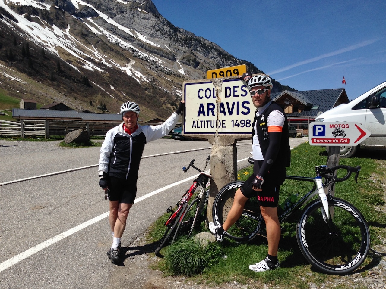
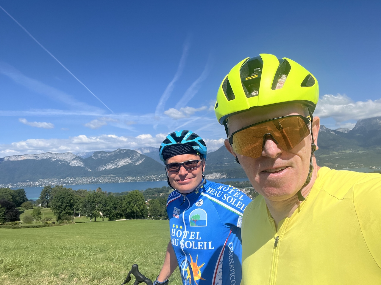
If you haven’t stopped for a break and have something to eat, the top of the Col des Aravis is an excellent opportunity. The challenging climbs have been done, and now it is the perfect picture-postcard moment for those cycling the Alps and Savoyard mountain photos (see below) while enjoying a relaxing lunch after those two big climbs. 

Leaving the Col des Aravis, you head down towards La Giettaz and Flumet. It is a stunning landscape. Again, it is a fast descent, but with more switchbacks than the Col de la Colombier, so it is one where you need your concentration. It should be noted, too, that it is also worth occasionally slowing down for a stop or two for a photo and to take in the scenery. Passing on the way down the pretty hamlet of La Giettaz, before a couple of km afterwards, you enter the narrow valley section where it starts to flatten. Sweeping through the flatter gorge section, you will soon enter Flumet. While most people will go through Flumet and then take a left at the roundabout to join the main road D1212 Ugine to Megeve, we suggest you avoid most of the D1212 road until closer to Megeve and take a quieter road. If this is more appealing, slow down as you enter Flumet and look for the first left turn, the Route Panoramique. It is easy to miss, but if you take this route, it misses out on what can be a busy D1212 that winds itself up through the relatively narrow but busy Gorge d’Arly (busy by Alpine road standards we hasten to note). Heading towards Megeve, you will pick the D1212 up later, but by then, it has left the gorge section and is both a straighter and considerably wider road section. 

Cold des Aravis Cycling
Enroute Col de Aravis

Homeward Bound – Cycling Via Cordon


As you join the D1212, there is a small climb before you approach the small but pretty Praz-sur-Arly and then head on into Megeve. Most people from here will either take the Route Nationale to Sallanches or cut down half-way down to Domancy (the latter the quickest route) or via St Gervais. Not us; we will suggest something that we think is far more enjoyable for just a marginal increase in ascent and a small, a couple of kms at most, increase in the distance.


Just before McDonalds (even Megeve has a McDonald’s), take the Route de Vauvray. Head towards Combloux. When you reach the T-junction in Combloux, turn left on the Route de Pelloux. Head through la Combaz towards Cordon. As you start to enter Cordon, take a right. The village of Cordon is a great place to grab a well-earned beer or small wine (alcohol-free, we hasten to note as we are still on the road). From Corden, it is a fun, winding run down into Sallanches below. As you enter Sallanches, head past the town square towards the hospital, where you will eventually pick up the road next to the A40 and the last couple of km back to the car park, crossing the railway line 1km from the return point.


We hope you enjoy. Please add your thoughts and comments in the comments box below. Safe and happy cycling.

Cycle Stats, Ratings, and Garmin Connect Map:

Distance:
Ascent:
Cycling Level:
Estimated Time:
Hill Climbing:
Scenery:
Roads / Cycle Paths:
Cafe Stops:
Overall (Enjoyment):
105km
2,161m
Sports Cyclist
5-6½ hrs
🚲🚲🚲🚲
🚲🚲🚲
🚲🚲🚲
🚲🚲🚲🚲
🚲🚲🚲🚲
Col de la Colombiere and Aravis Cycle Route
;