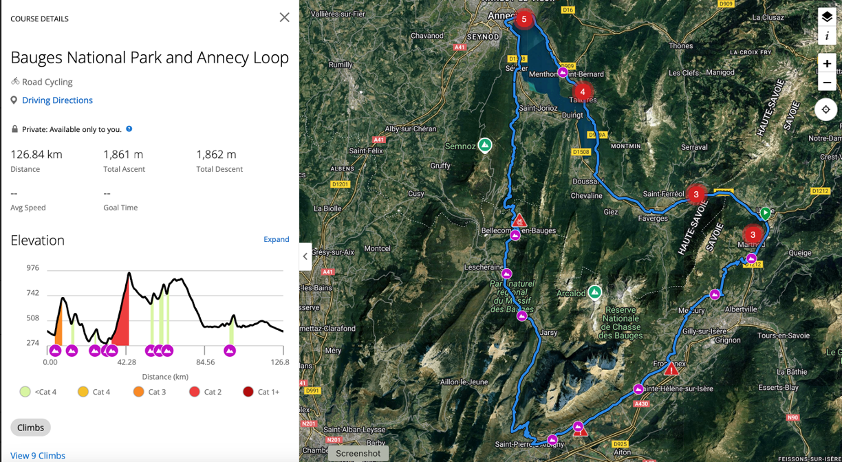
If you are visiting the Haute Savoie region, in or around Chamonix, Megève, St Gervais, Les Houches, etc. and want to Cycle the Alps, we suggest you check out one of the best-kept secrets – the Bauges ‘Parc Natural’ (Parc Naturel Régional du Massif des Bauges) situated between Grenoble and Annecy. Whilst the route we are about to recommend is not for the casual cyclist, 127km, and 1,861m of ascent, it is, as you may have guessed, well within the capability of most fit sports cyclists. A route that takes cyclists away from the main routes visitors usually frequent (Aravis, Colombiere, etc.) into a beautiful valley we feel is even better and just as challenging.



Cycling Bauges National Park and Annecy
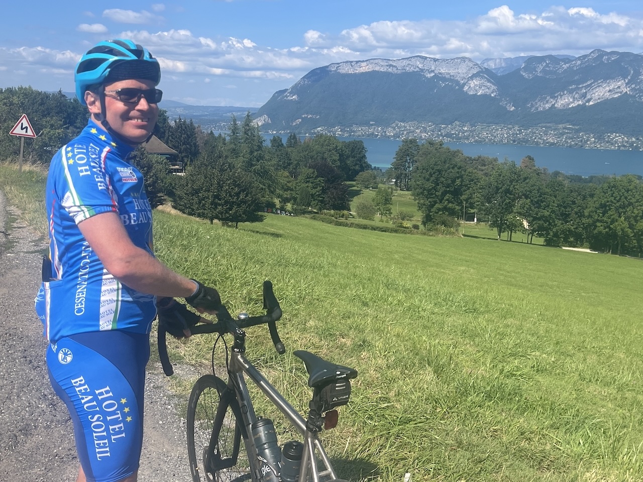
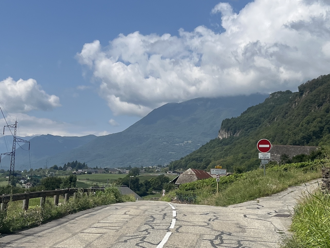
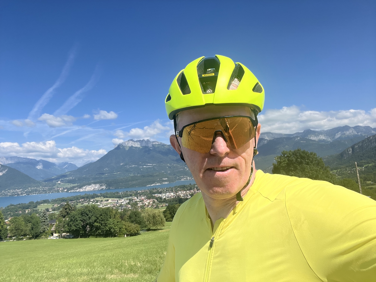
The Bauges Parc Naturel, a national park, is unsurprisingly an area of superb natural beauty. This alone makes it worth cycling, in our opinion. The Bauges Parc Naturel makes for an idyllic, dare we suggest, perfect setting for road cyclists in its predominantly quiet roads and small traditional French villages. Notwithstanding, being between Grenoble and Annecy, when you leave this stunning area, you can maintain this route’s fabulous appeal by dropping into the town of Annecy (see map at the bottom of this page), with even more stunning views! This time, the lake that Annecy resides next to (Lac d’Annecy). Annecy is nearly 100 km and circa 1,660m of ascent into your ride; this beautiful town and lakeside setting make it the perfect opportunity to enjoy a fabulous lunch by the water. After that, the final 30-40 km is a relaxing flat section that returns cyclists to the starting point.
Whilst we suggest a relatively flat 30-40 km finish, expert cyclists may want to take a left turn at the end of the lake and head for the Col de la Forclaz (45.808464, 6.244766). Whilst it won’t add very many kms to your Strava account, it will add circa 600m of ascent (over a climbing distance of around 7.5km). I prefer to leave this to another day, but if you decide to add this, be aware that some sections are 12%, and the last 5kms are over 8%, mostly 10%+. This is noted; if you add the Col de la Forclaz onto the route, you will be rewarded with another stunning view of Lac Annecy for your troubles at the top of the col and another fabulous descent afterwards. Once again, there are fantastic twists and turns through stunning scenery.
Start of the Cycling Route
We always drive and then park just off the main roundabout at Ugine, the ‘Parking du Parc’. If you are an expert cyclist, Megève, Sallanches, or even Chamonix is possible, but it will be a long day in the saddle if you do start further afield.
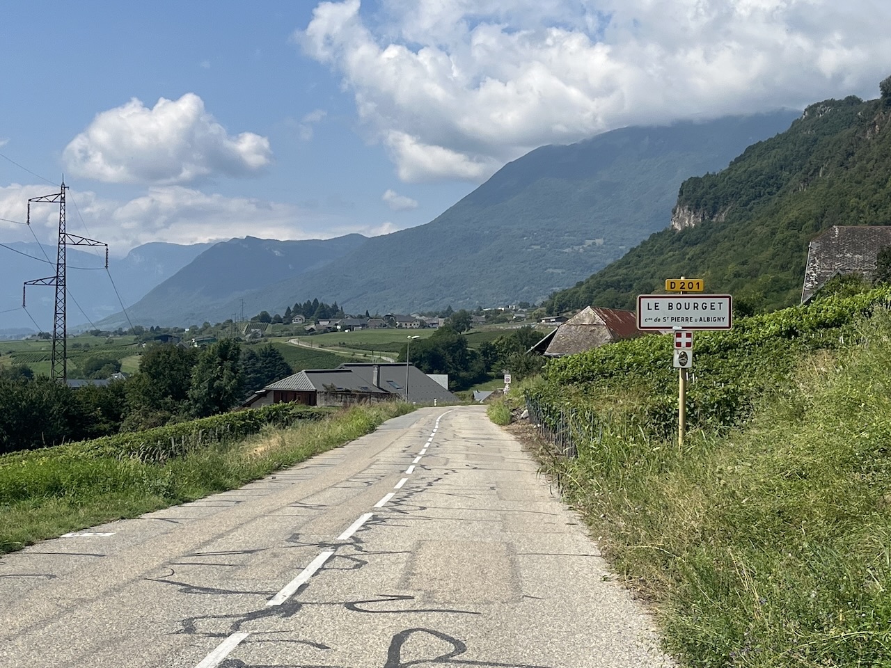
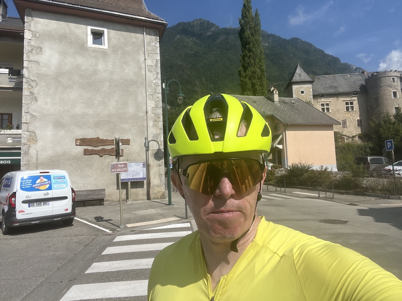
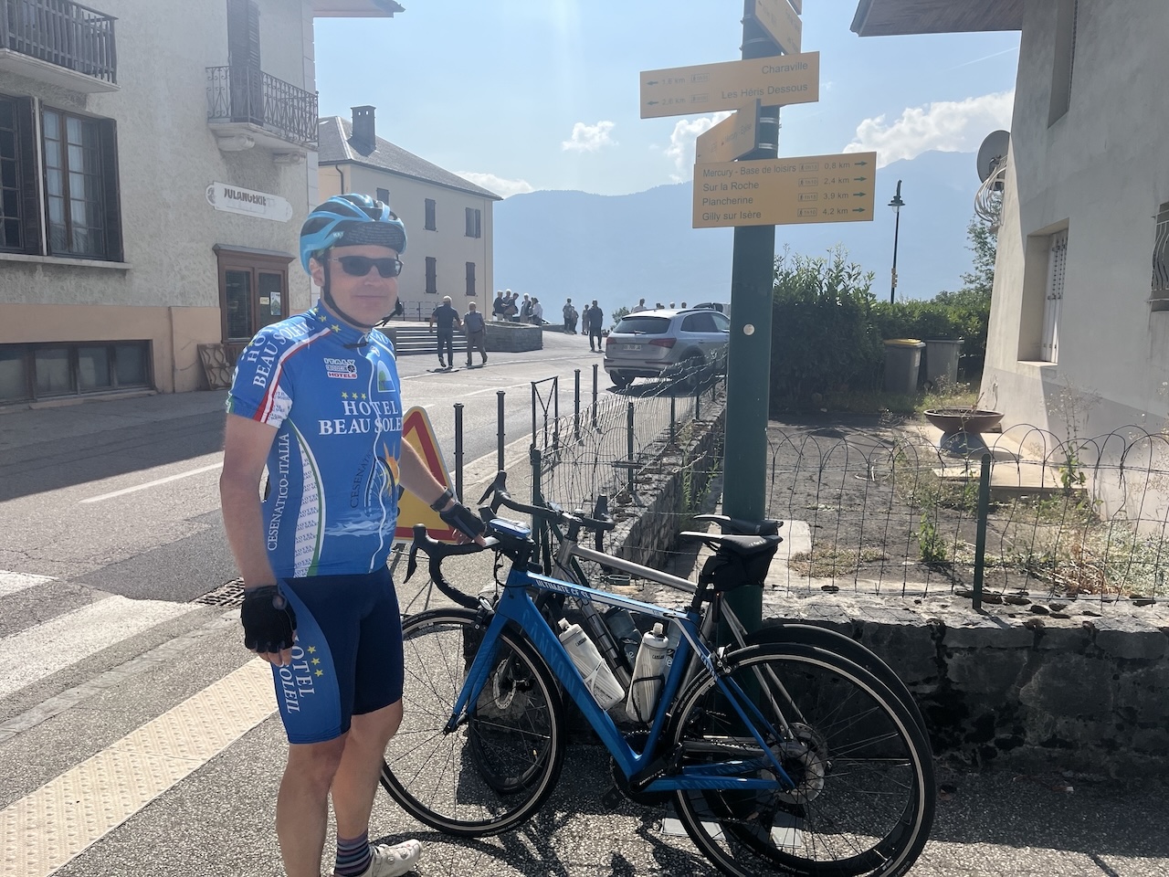
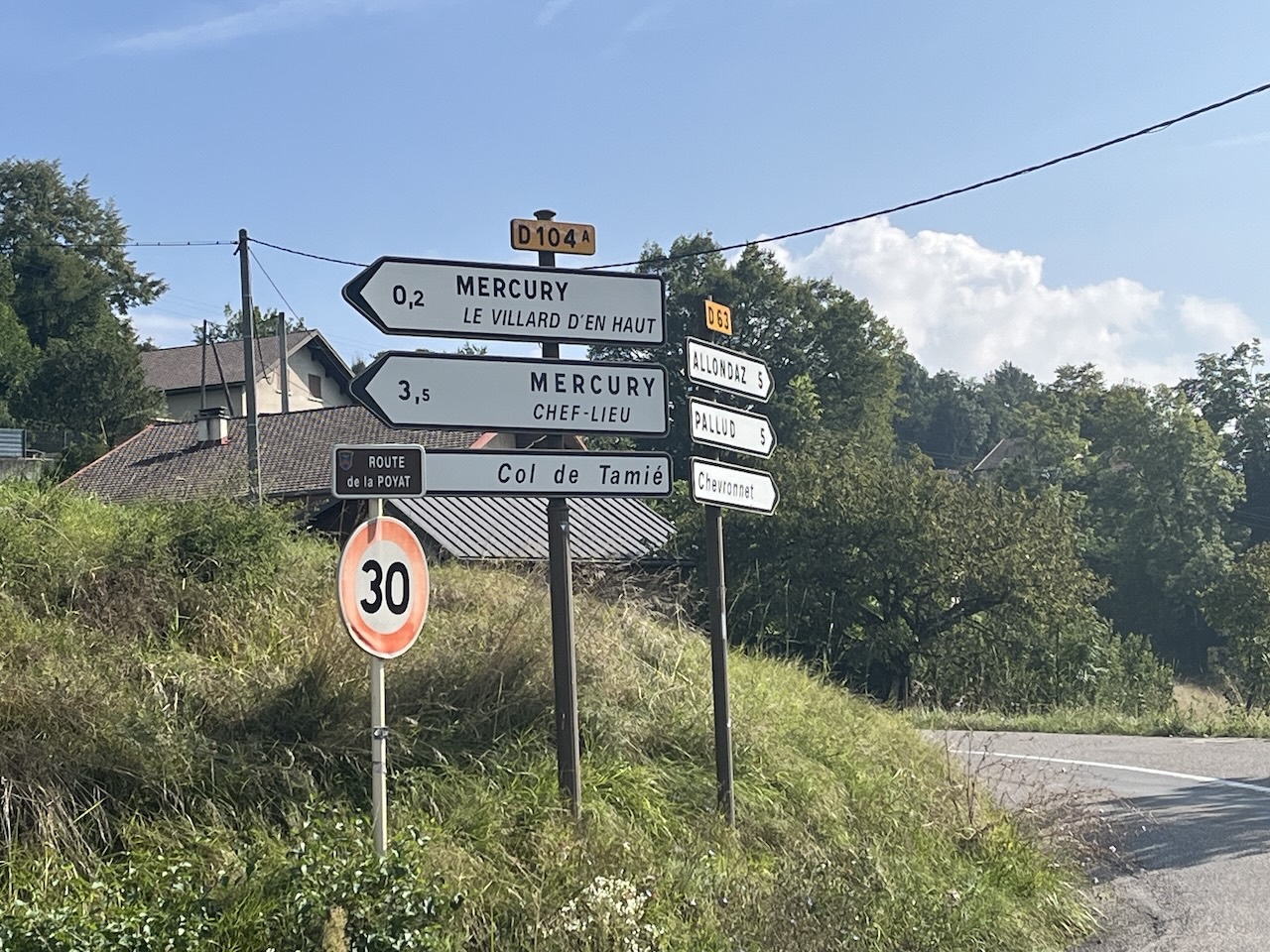
From the car park, you follow the cycle path next to the D1212 main road towards Albertville for circa 4.5 km before quickly turning right towards Les Comberends for our first nine climbs. Here, you climb towards the village of Allonanz, passing small hamlets, farms, and cows and seeing the natural, unspoilt part of the Haute Savoie region. From here, you drop quickly down towards the various villages, with a few minor climbs, that make up the Mercury communes, with a quick refill in the centre of Mercury, even a coffee if you have time, before we have a long, relatively flat, undulating in places, ride through Tournon, Frontenex, Montalleur, Grésv-sur-Isère, and Frétereve. Look out on the way for the beautiful Chateau de Miolans on the right, which is sadly no longer maintained, as you will see should you decide to go and see it close up.
Col du Frene – One of the TCF (Touring Club of France) 1902 Climbs
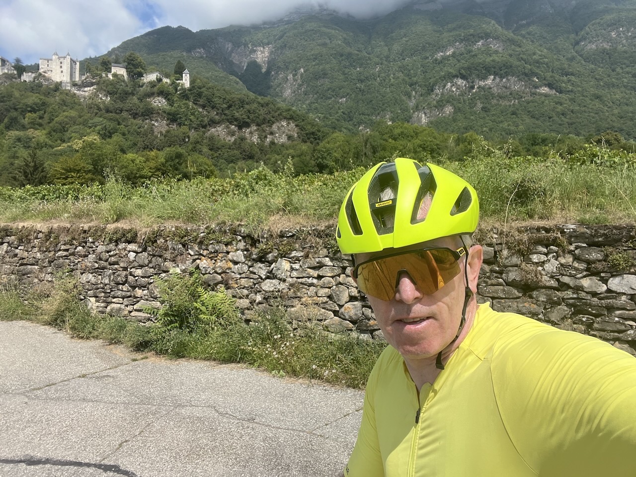
As you pass Miolanet, the climb starts, and you will now climb for 12kms. This said, at the early stage, the climb flatters to deceive with a shallow gradient, allowing riders to cover the ground quickly. After 4.5kms you will arrive at Saint-Pierre-d’Albigny. At this stage, the gradient slowly ramps up. After entering Saint-Pierre-d’Albigny you take a right turn as you arrive at the D911, signposted towards the Col du Frêne you are heading towards. While our gradient shows the climb before this, the shallow start of the climb being part of the route we provide, some will start from this junction, or just after, measuring the Col du Frêne around 8km, and just over 550km of ascent. Anyway, regardless, if you are a Geeky cyclist like me, you may be interested to know that the Col du Frene was one of only a handful of cols selected for the 1902 TCF (Touring Club of France), the prelude to the Tour de France. So you are about to cycle a truly historic climb!
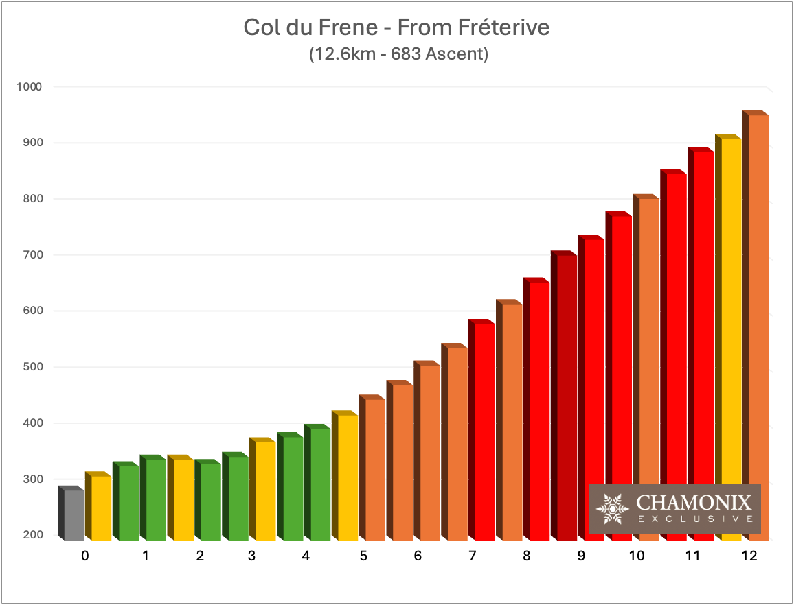
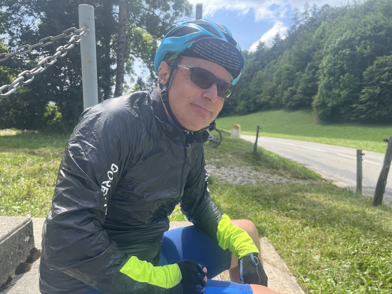
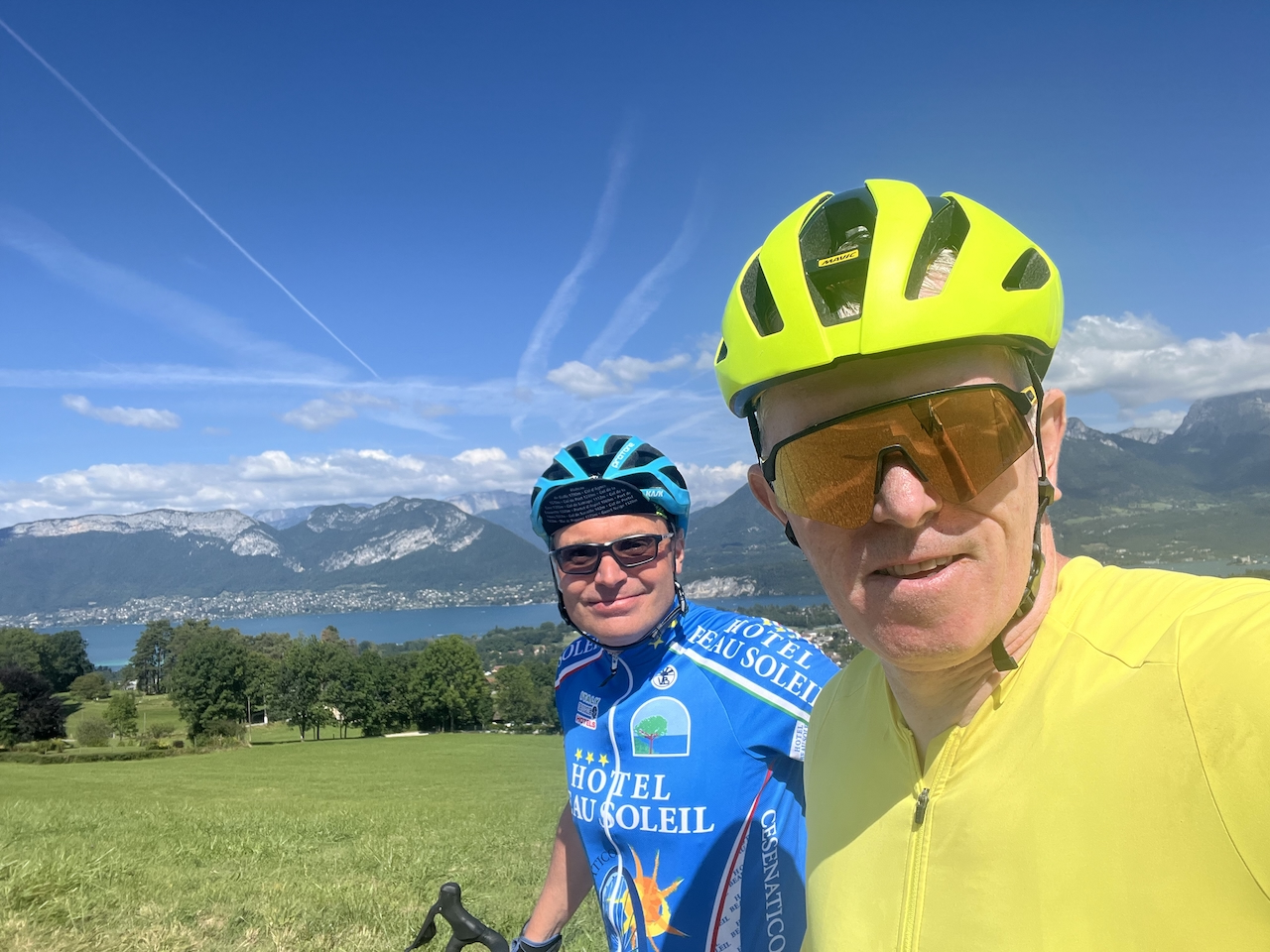
As you leave Saint-Pierre-d’Albigny, the climb is nearly 500m, at just over 7 km. Hill climbers will be delighted to know that much of the climb is between 8% and 12%, with higher numbers in the last few kms. As a competent hill climber, Chris (‘Froomy’ in blue in our photos) delights in such pain, whereas I am of the Mark Cavendish persuasion (who prefers flat sections) and find it somewhat brutal! This said, even if you are of my hill-climbing persuasion, it will be well worth it once you have reached the top (so stick with it – the rest is majestic)!
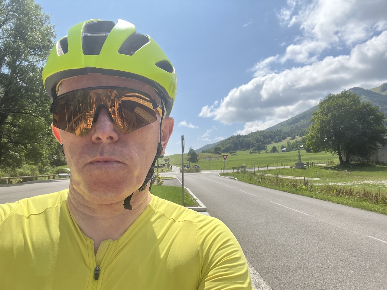
The Col du Frêne looks into the vast valley of the Bauges National Park. Take in the quiet, relaxing countryside surrounding the Bauges Massifs as you drop into one of the most beautiful, quiet valleys we have ever cycled in the Alps. It is 20 km of paradise for those who love cycling the Alps on quiet roads, with stunning countryside and mountains around us. Few cycling moments are ever as good as good as this! Passing Saint-Reinne, Le Villard, and finally, La Compote, you arrive at the D206—the last main climb of the day towards Les Chaux. Here, the traffic in the summer can get a little busier, but not excessively so. After the challenging Col Du Frêne, this climb is far more gentle and provides a chance to push on up the next 8.5kms. A long, gradual climb of circa 330kms, it fluctuates primarily between 4-6% at the start and under 4% as you get closer to the top with a cafe/restaurant on the summit. A chance to stop, eat, drink, whatever, and take the obligatory photo that celebrates the last notable climb of the day. Hereinafter, you will enjoy 60 km of descents and relatively flat sections, starting with the fast descent down towards Lake Annecy over the next 20 km, with 500m of descent. Please note, however, that this descent can be busy in both directions in peak season, with one or two sharp bends, so appropriate care is recommended.
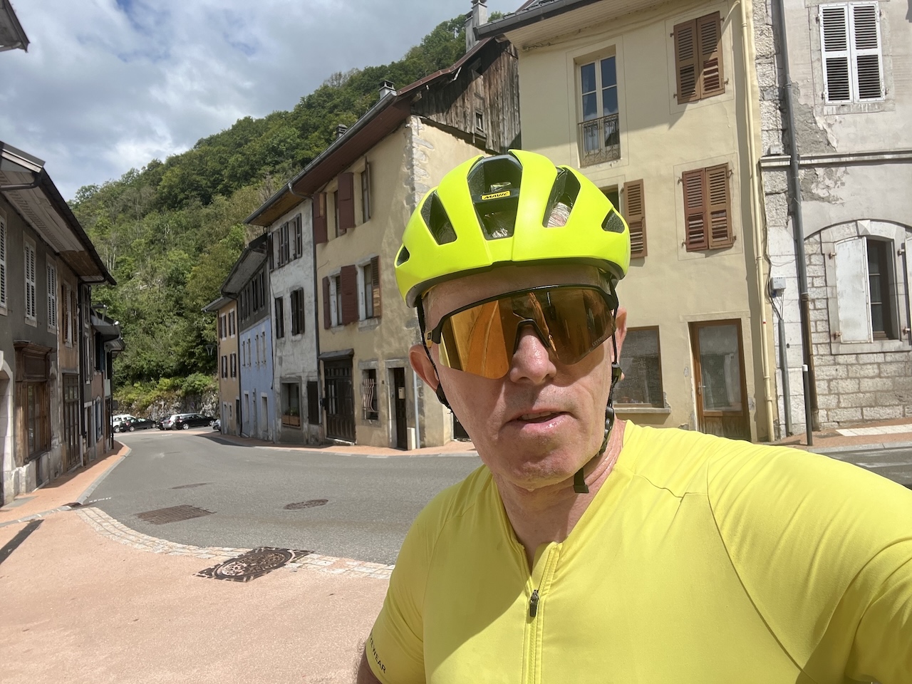
Cyclists Lunch In Annecy
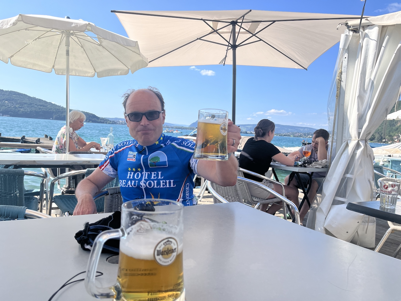
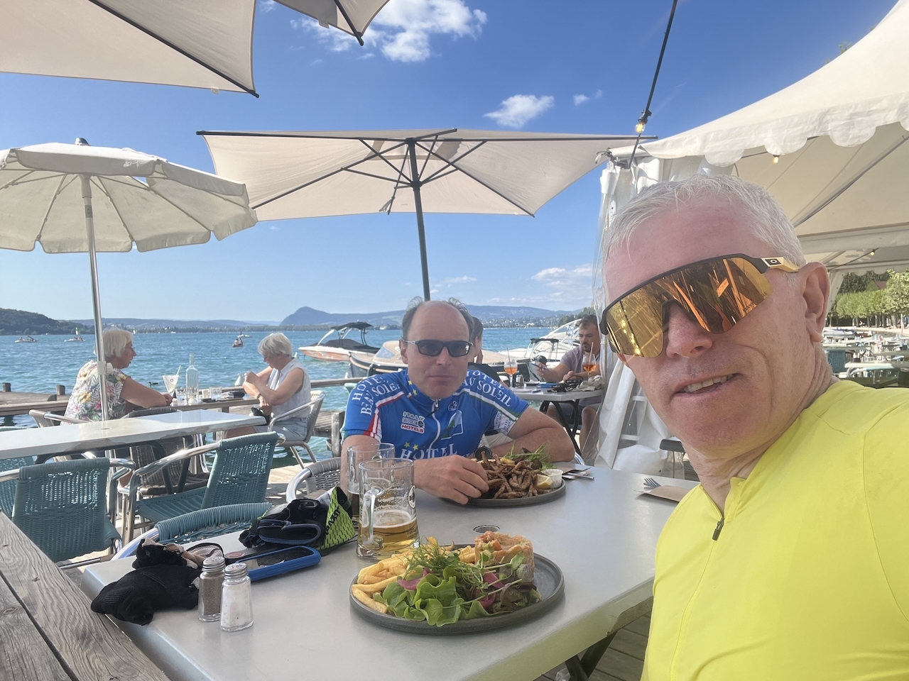
Once in Annecy, our cycle route takes us clockwise around the lake. Whilst the town of Annecy has numerous lunch choices, we particularly like Le Pêcheur, the other side of the lake at the Port de Verier-du-lac, an excellent, relaxing spot for a fabulous lunch and either a well-earned beer or glass of wine. After a long, well-earned lunch, we head out, with Lake Annecy on our right, following the main cycling route back towards Ugine. Initially you will have a short road section (with a designated cycle section), before joining the cycle path as you make the short climb towards Verthier. At the top, if you want to add the 600m of ascent and enjoy the Col de la Forclaz, take a left, but if following our preferred route, head right towards Doussard, and just before entering this small village, turn left on the cycle path that initially sits to the right of the D1508. After around 30 km, the cycle path passes the children’s play area on the left and then shortly afterwards, head under the railway bridge, and you are back where you left the car!
One of Best, But Rarely Cycled, Cycling Routes in The Alps
It is a fantastic cycling route and probably our favourite, with everything you can want. The roads are primarily traffic-free, and the scenery alongside them is impressive. Look left or right; you bask in beautiful countryside, farms, petite, pretty, traditional French villages, and mountains. Then, there is the lovely town of Annecy and its lake, the icing on the cake. Throw in a reasonable cycling distance and some superb hill climbing, with the Col du Frene a real challenge halfway through, notwithstanding a great lunch stop, and is there any wonder why we love this route so much?
If you take the opportunity to ride it, we hope you enjoy it as much as we do. Please comment below to tell us what you think of it. Happy cycling.
Cycle Stats, Ratings, and Garmin Connect Map:
Distance:
Ascent:
Cycling Level:
Estimated Time:
Hill Climbing:
Scenery:
Roads / Cycle Paths:
Cafe Stops:
Overall (Enjoyment):
127km
1,861m
Sports Cyclist
5½-6 hrs
🚲🚲🚲🚲
🚲🚲🚲🚲🚲
🚲🚲🚲🚲🚲
🚲🚲🚲🚲
🚲🚲🚲🚲🚲
Contact Us:

Connect With Us